Total Land Area: 5,679.64 sq. km.
Occupies the biggest land area among the provinces of Region XI.
Represents 26% (percent) of the total land area of Region XI.
Division:
10 Municipalities – Baganga, Banaybanay, Boston, Caraga, Cateel, Governor Generoso, Lupon, Manay, San Isidro, Tarragona
183 - Barangays
517,618 - Population (May 2010 Census)
Indigenous People – Mandaya (Most dominant tribe in the province that made the hand abaca women cloth called “Dagmay”), Mansaka, Manobo, Kalagan

Davao Oriental
(City of Mati)
Natural Resources - Fertile Agricultural Lands, Rich Fishing Grounds, Mineral Deposits
Minerals – Nickel, Chromite, Manganese
GEOGRAPHY
Davao Oriental is situated in the southeastern section of Mindanao. It belongs to the Southern Mindanao Region or Region XI. Its boundaries are defined on the north by Agusan del Sur, on the south by Davao Gulf, on the east by the Pacific Ocean, and on the west by Davao province.
LANGUAGE/DIALECTS
Cebuano/Visayan, Tagalog/Pilipino, Mandaya, while Dabaweño is the native dialect.
CLIMATE
The province lies outside the typhoon belt. The province does not have a pronounced dry season although rainfall is at its maximum from November to January.
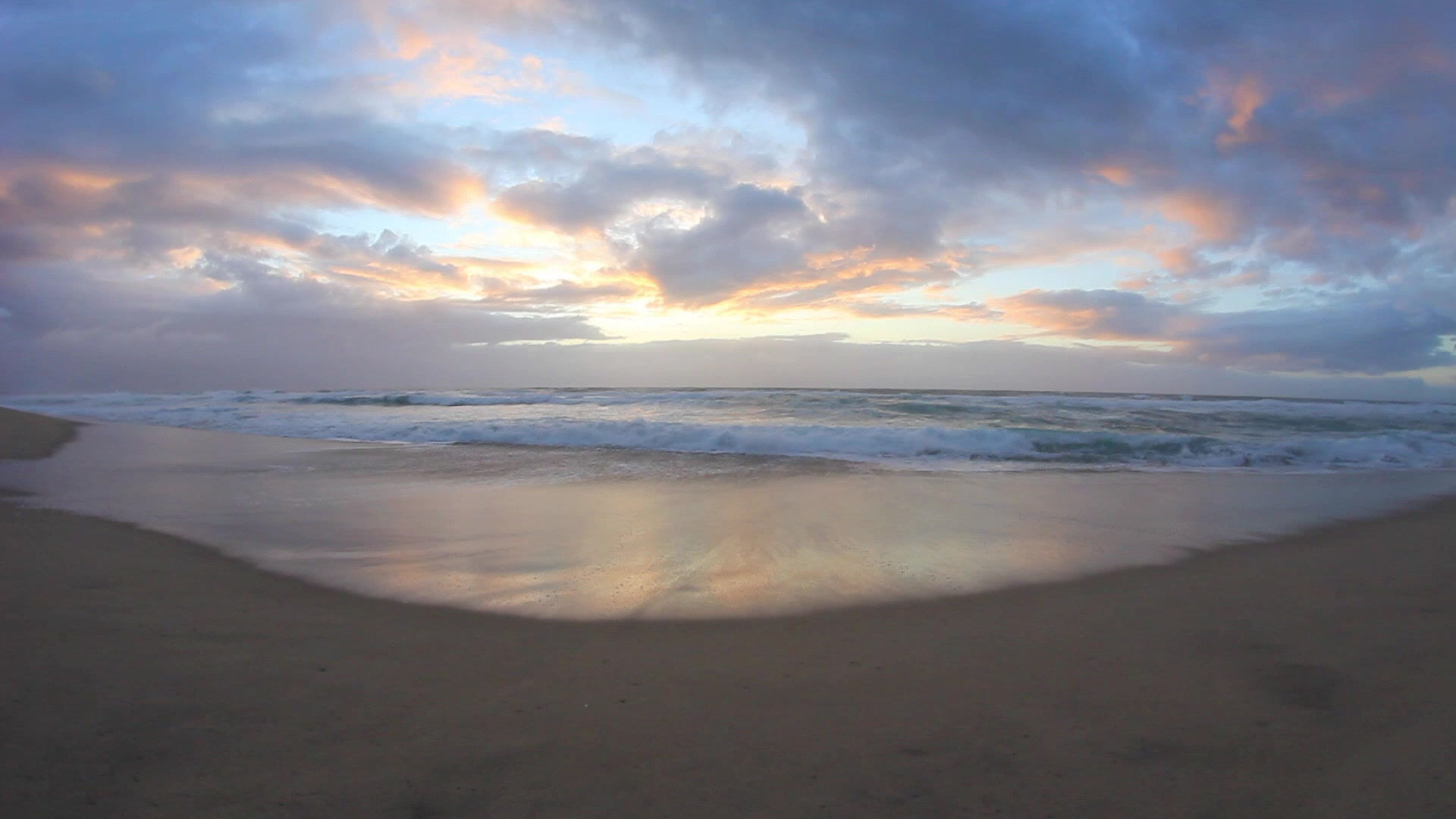
 Aliwagwag Falls |  Pusan Point |  Hamiguitan or Bonsai Forest |  Dahican Beach |
|---|---|---|---|
 Cape of San Agustin |  Sleeping Dinosaur Peninsula - Mati |  Mandaya Tribe |